File:RiversEndMap.png
Size of this preview: 783 × 600 pixels. Other resolution: 2,496 × 1,912 pixels.
Original file (2,496 × 1,912 pixels, file size: 2.04 MB, MIME type: image/png)
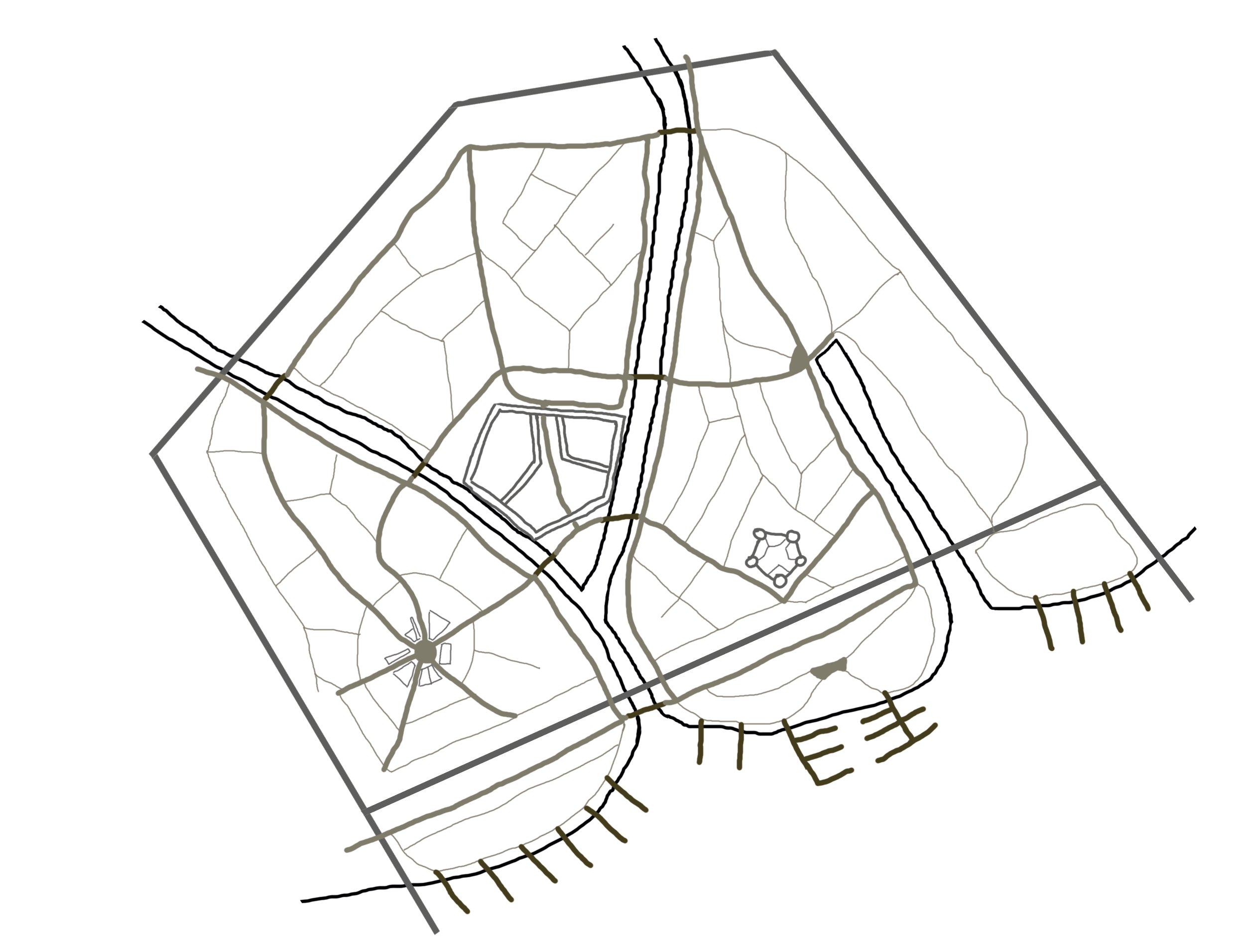
Map of River's End with main streets, piers and important buildings.
File history
Click on a date/time to view the file as it appeared at that time.
| Date/Time | Thumbnail | Dimensions | User | Comment | |
|---|---|---|---|---|---|
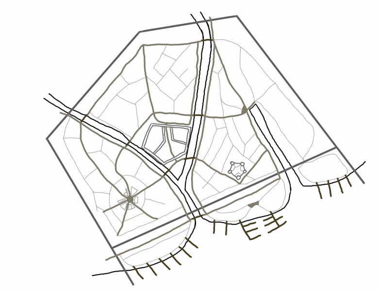
| current | 11:42, 26 February 2018 | | 2,496 × 1,912 (2.04 MB) | Melestara (talk | contribs) | Map of River's End with main streets, piers and important buildings. |
You cannot overwrite this file.
File usage
The following page uses this file: