File:WindrenIslesMap.png
Size of this preview: 600 × 600 pixels. Other resolution: 2,000 × 2,000 pixels.
Original file (2,000 × 2,000 pixels, file size: 930 KB, MIME type: image/png)
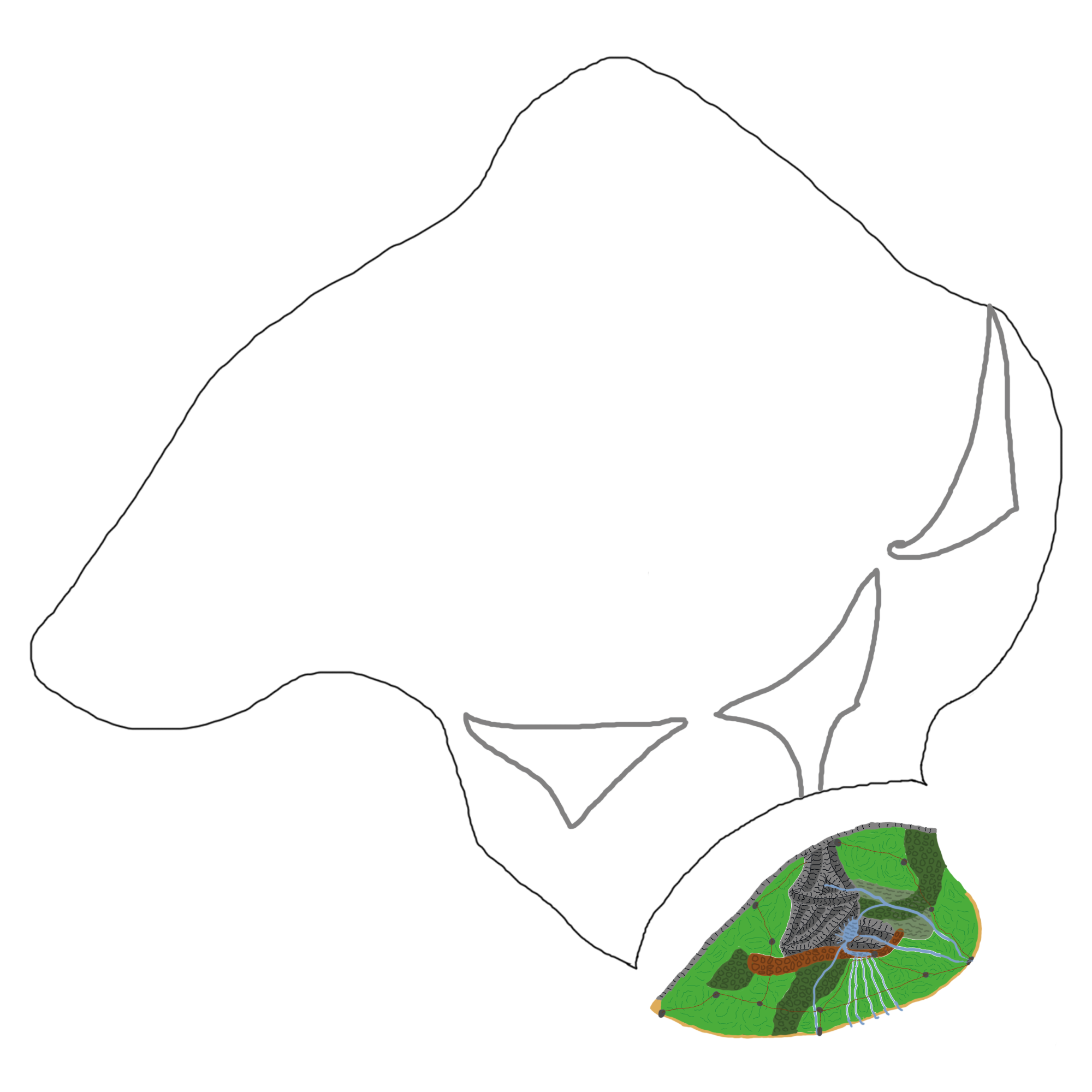
Rough map of the Windren Isles. Only The Broken South is fully mapped out.
File history
Click on a date/time to view the file as it appeared at that time.
| Date/Time | Thumbnail | Dimensions | User | Comment | |
|---|---|---|---|---|---|
| current | 14:09, 22 February 2018 | | 2,000 × 2,000 (930 KB) | Melestara (talk | contribs) | Rough map of the Windren Isles. Only The Broken South is fully mapped out. |
You cannot overwrite this file.
File usage
There are no pages that use this file.